
Peregrine

Live drone operations, in full context.
About this integration
Peregrine is a decision intelligence platform that brings an agency’s data, from CAD and records to sensors, into one operating picture.
Through BRINC’s public APIs, Peregrine receives live drone telemetry and CAD call data from BRINC LiveOps. Drone position and status appear alongside the rest of your agency’s information.
Analysts see where each drone is, which call it is on, and what else is happening nearby. That context supports faster, better informed decisions during live incidents.
Available now for telemetry and CAD data. Live video support is coming soon.
Benefits
- Live drone position and status in Peregrine’s operating picture
- Drone activity tied to the CAD calls it responds to
- Aerial operations in context with the rest of your agency’s data
- Built on BRINC’s public APIs for telemetry and CAD data
How It Works
- The BRINC team enables API access, and Peregrine connects to your BRINC LiveOps account.
- Drone telemetry and CAD call data stream into Peregrine in real time during every flight.
- Analysts view drone activity on the map alongside CAD, records, and sensor data.
Requirements
An active Peregrine deployment at your agency.
A BRINC LiveOps account with admin access.
Telemetry and CAD data are supported today. Live video is on the roadmap.

Explore more integrations
View All Integrations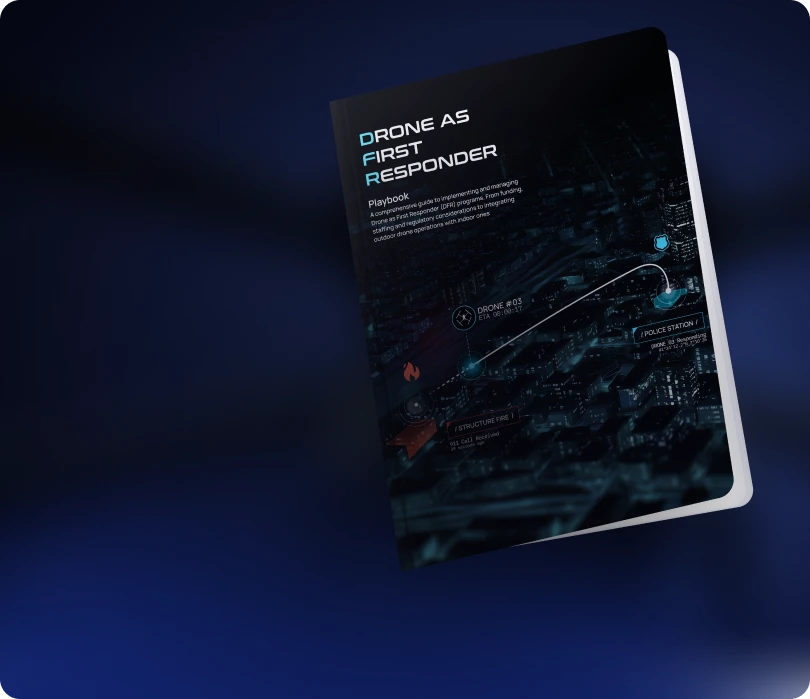
Learn how agencies plan,
launch, and scale DFR programs
Read the Playbook
Don't See Your Tool? Let's Connect It.
We're continuously expanding our integration ecosystem. If your platform isn't listed, our team can help explore integration options.
Contact Us


