Drone as First Responder
Airborne support for public safety operations
Key Reasons Agencies are Developing Drone as First Responder Programs
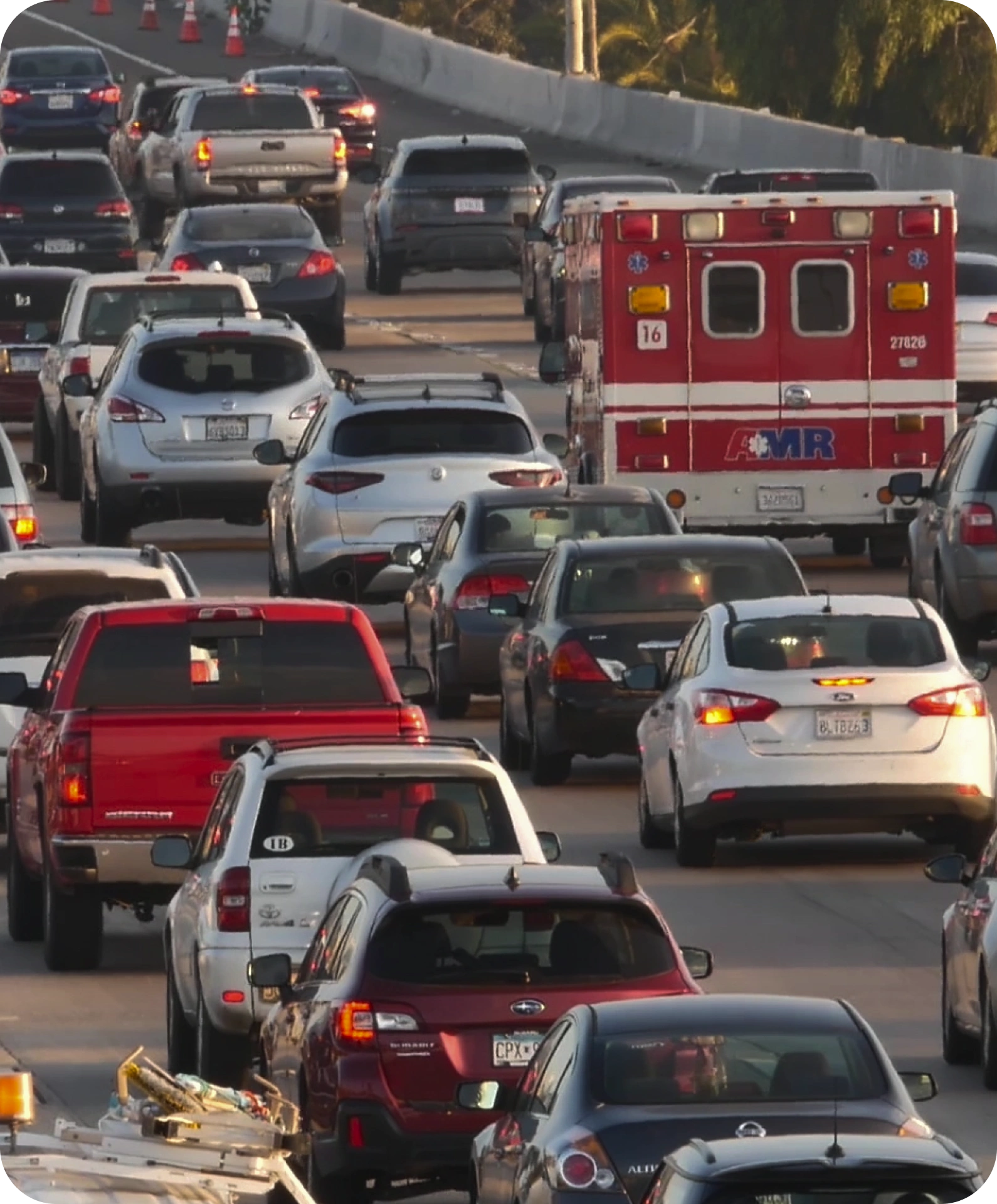
Increase Officer Safety
Get eyes and ears in dangerous situations without risking lives and before officers arrive.
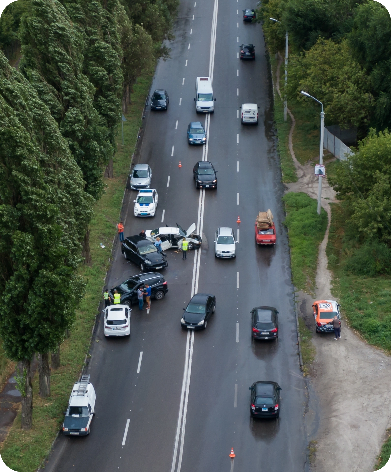
Reduce Use of Force
Create distance and slow down the speed of operations with technology.
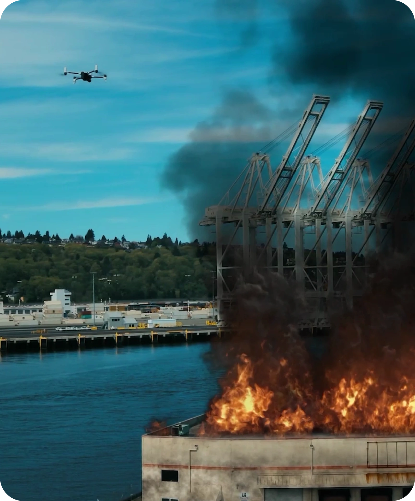
Deliver Lifesaving Payloads
Make Narcan, AEDs, EpiPens, cell phones, and other equipment available anywhere in seconds.
Emergency Incidents for Drone as First Responder


BRINC DRONES ARE USED BY OVER 900 PUBLIC SAFETY AGENCIES IN ALL 50 STATES
End-to-End
Hardware, software, and services fully supported by one partner – built exclusively for public safety right here in the USA.

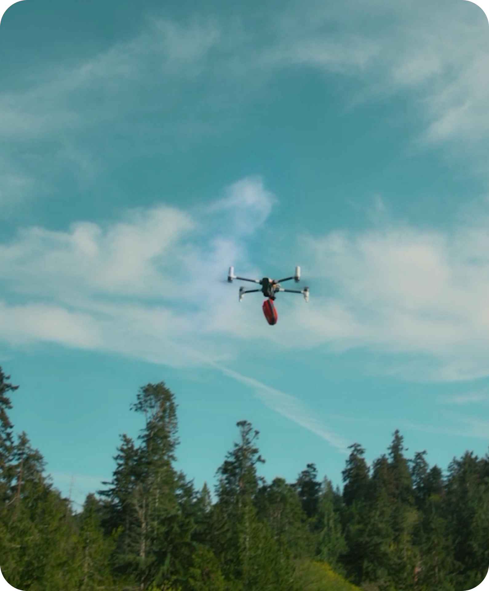
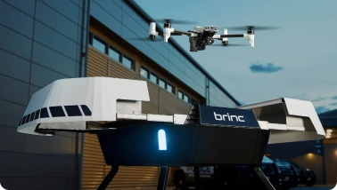
Hardware
- BRINC Responder Drone
- BRINC Responder Station
- Echodyne Ground Based Radar
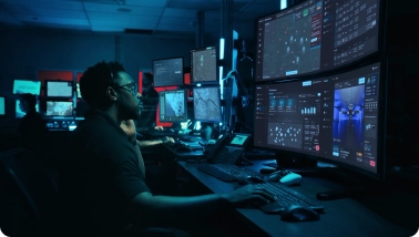
Software
- Fleet Management
- Drone Deployment and Teleoperation
- Integrated Video Streaming
Services
- Regulatory Support
- Hardware Installation
- Training
Integrations
Connect to Existing Systems
BRINC DFR connects to CAD, RTCC, evidence management, ALPR, gunshot detection, 911 call sharing software and more to integrate drones seamlessly into daily operations.

Get your Drone as First Responder Program Off the Ground
Schedule DFR Discovery Call
Embark on your DFR journey with insights from the industry's leading experts, tailored to your agency's unique needs.
Schedule Now
Download the Playbook
A comprehensive guide to implementing and managing Drone as First Responder (DFR) programs with key learnings from the first DFR program in the U.S.A.
Get the Playbook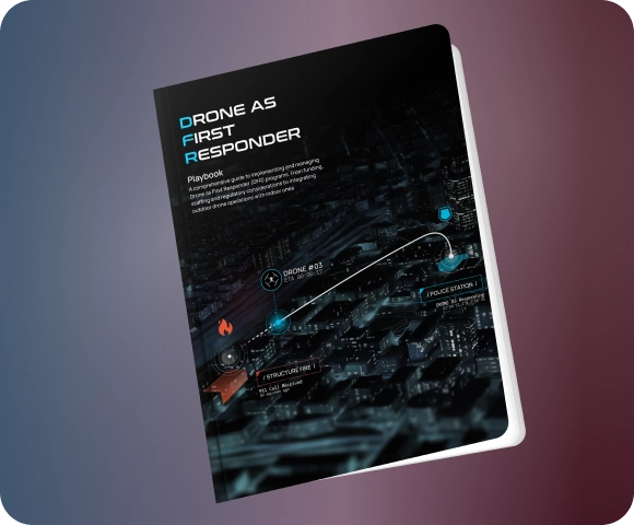
Expand Drone Operations with One Upfront, All-Inclusive Program
Experience a single, all-inclusive UAS program with upfront pricing for stability in budgeting and easy
expansion, all from one vendor


Hardware Upgrades

Software Upgrades

Unlimited Repair & Replace

Free Loaner Equipment

End-to-End Training

DFR Drone(s) and Accessories

DFR Dock
