Specifications
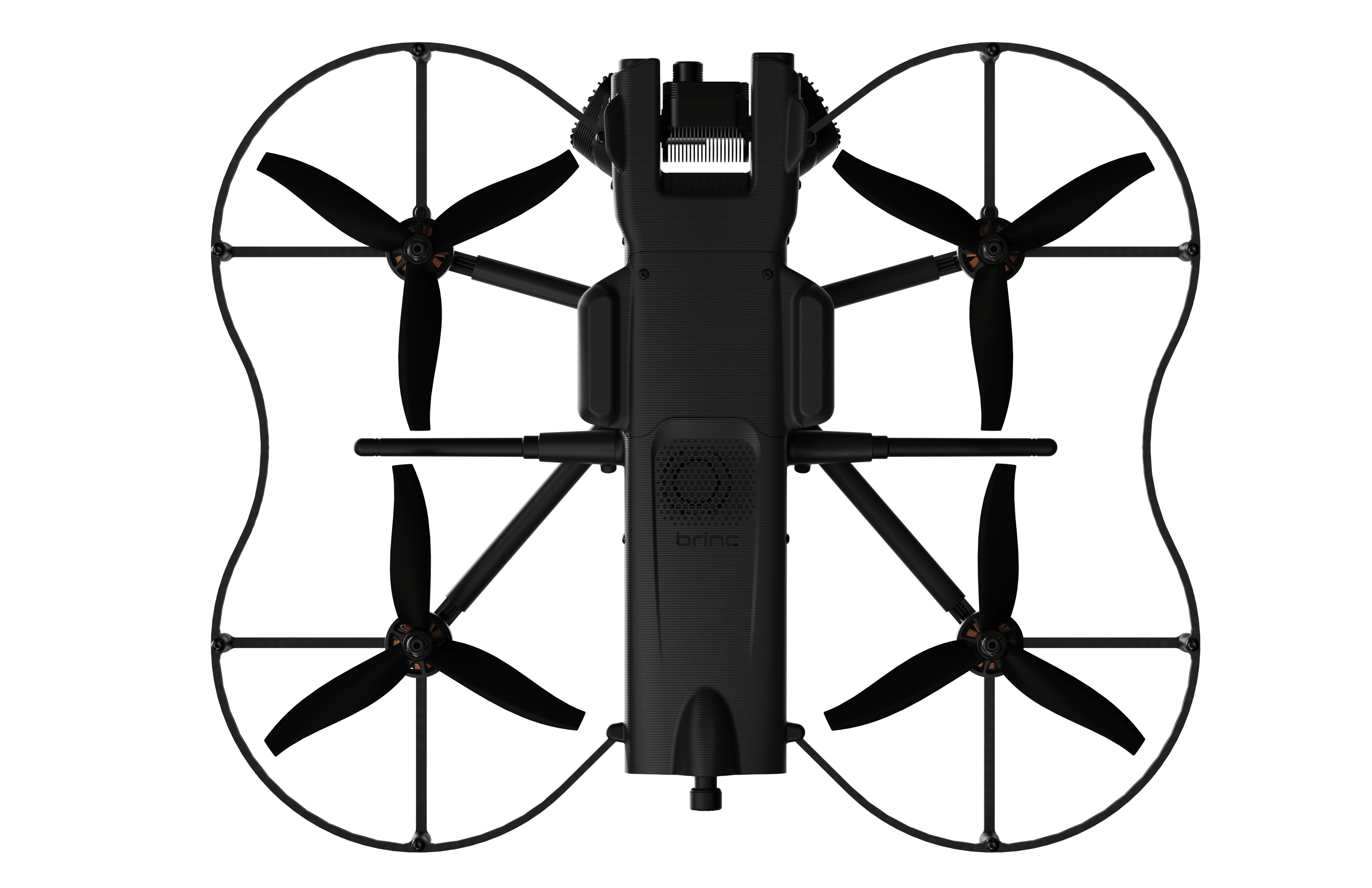
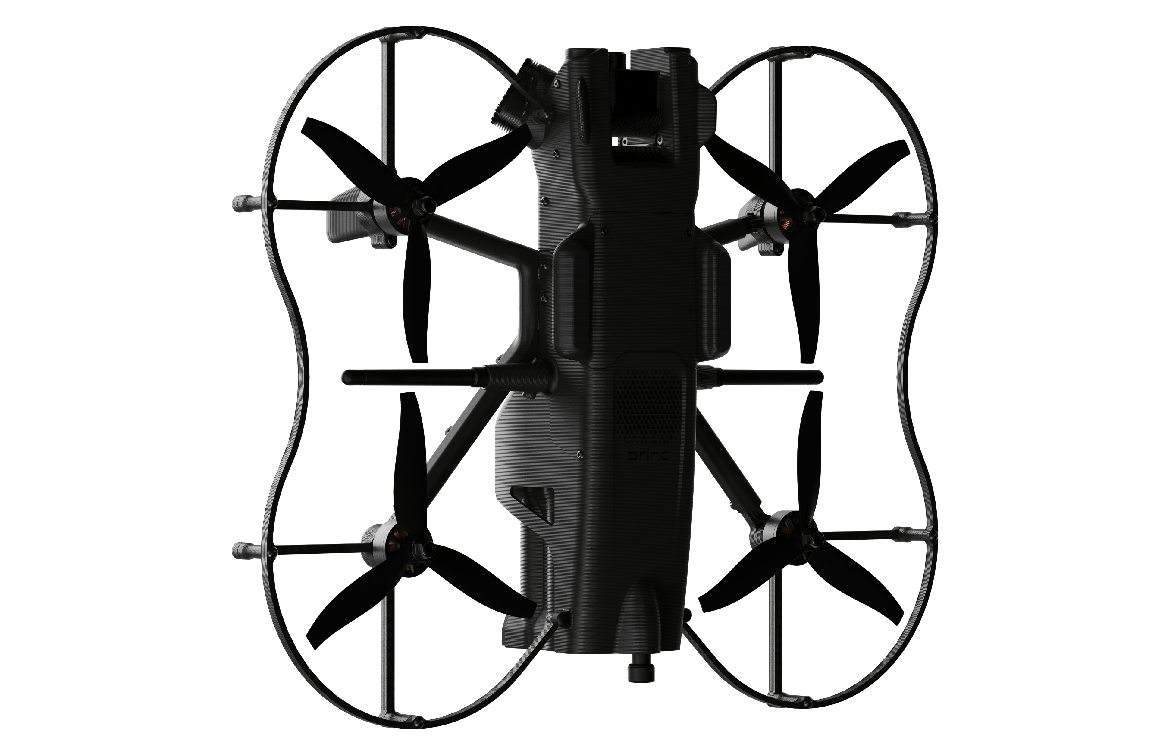
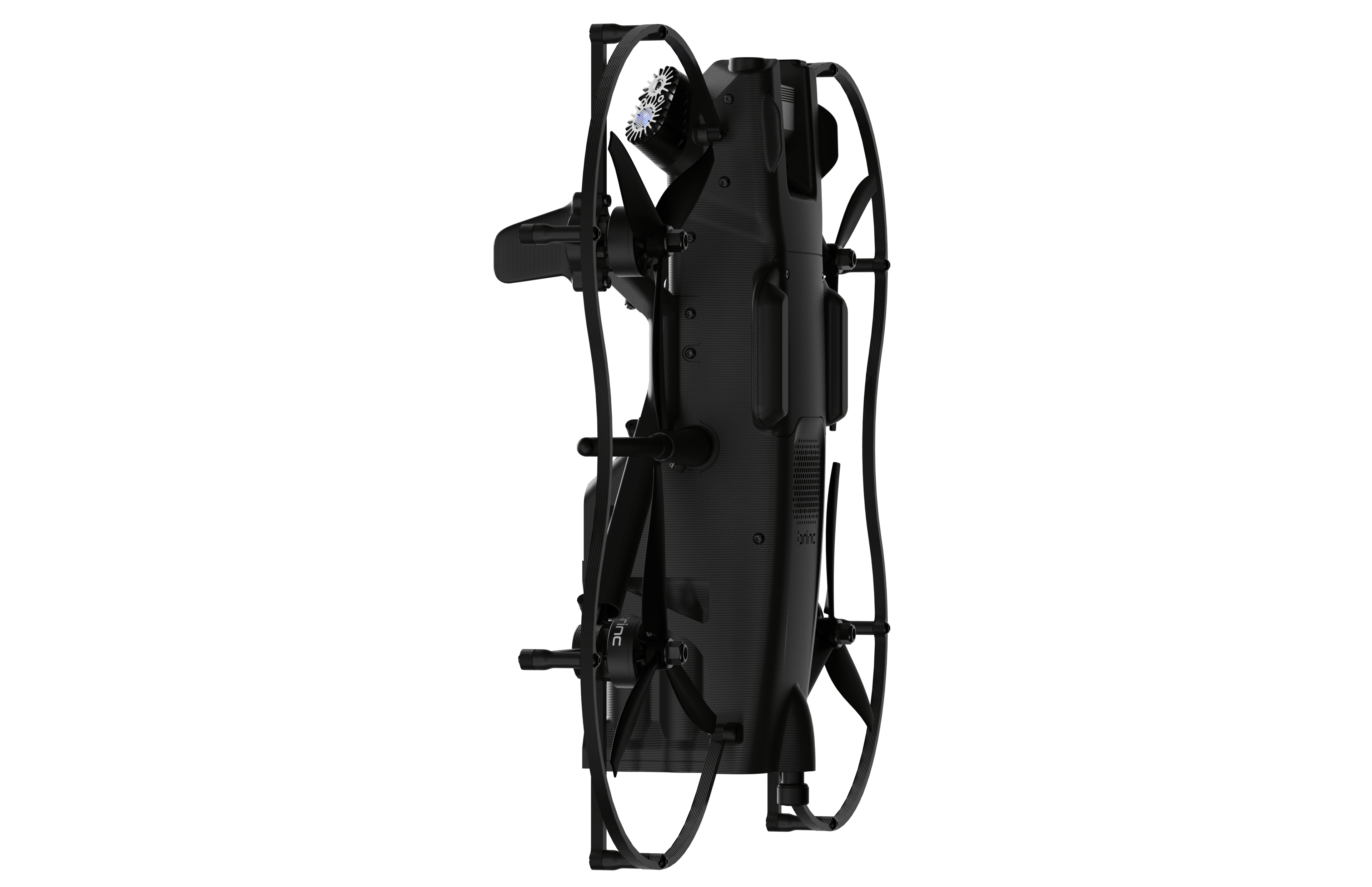
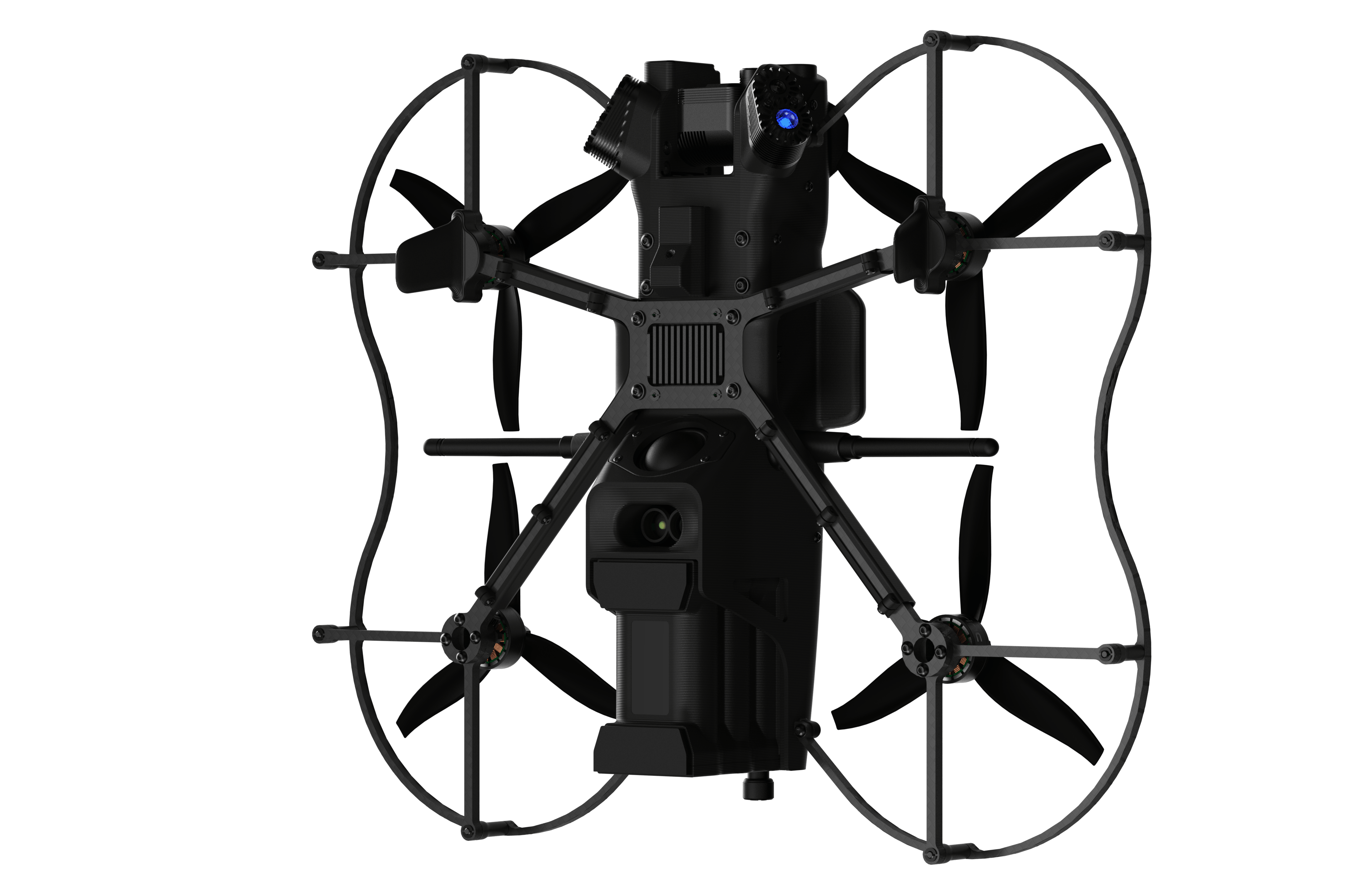
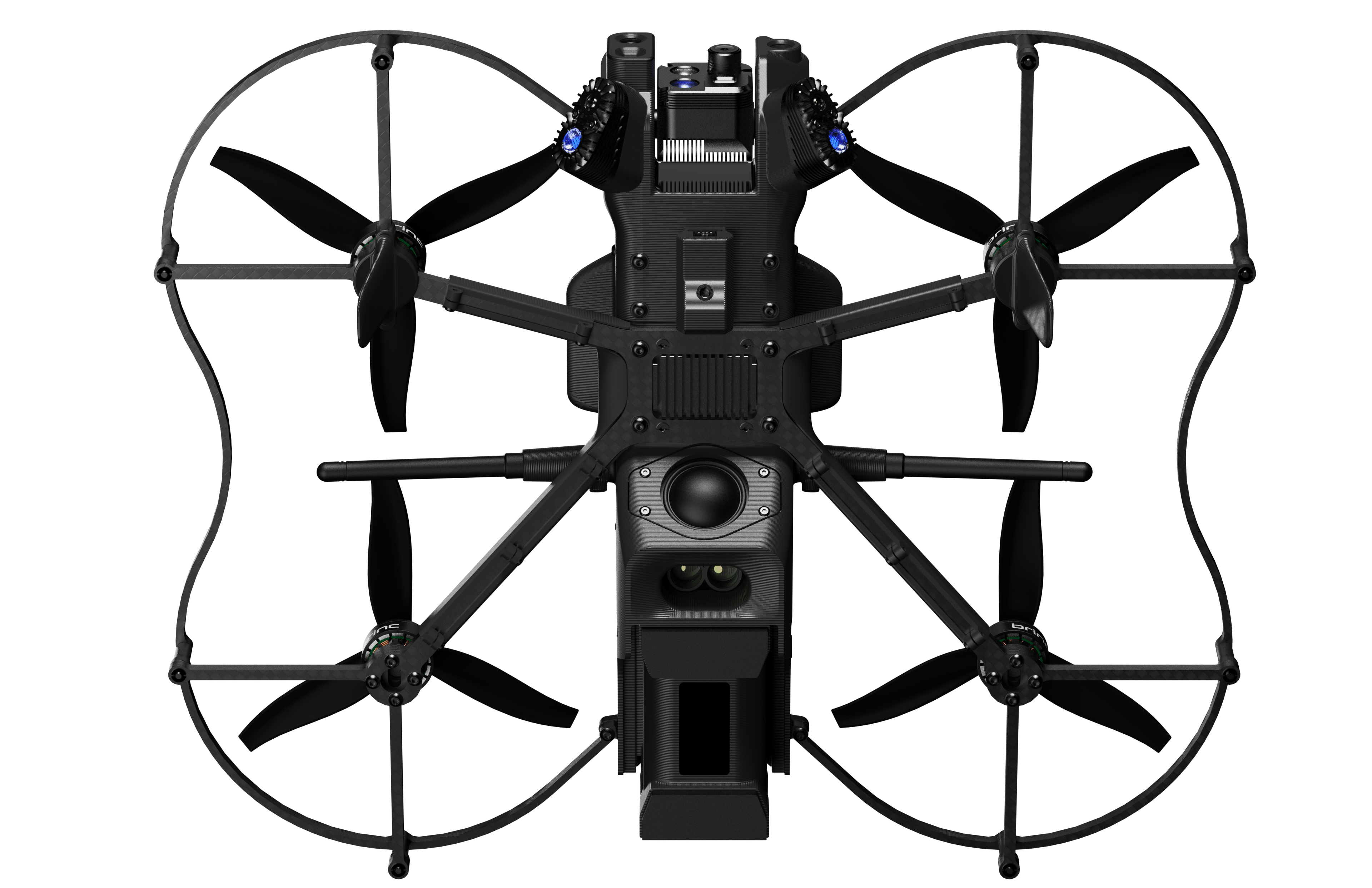
| Size | Height: 3.9 in / 99 mm Width: 16 in / 405 mm Length: 13 in / 332 mm |
| Takeoff Weight | 3.3 lbs / 1.5 kg |
| Max Speed | 48 mph |
| Operational temperature | - 4°F to 113°F / -20°C to 45°C |
| Max Flight Time | 20 minutes |
| Max Perch Time | 6 hours |
| Flight Modes | Position Hold, Altitude Hold, Manual |
| Water Resistance | Light rain. Allow to completely dry after use. |
| Operating frequency | User defined between 2.10 – 2.50 GHz |
| Encryption | AES 256 |
| Range | Up to 3 miles / 5 km depending on the operating environment and line of sight |
| Mesh Network Compatibility | Meshes with other LEMUR 2s and compatible radios for increased radio performance |
| Video Latency to Controller | <150ms |
| Video Latency to LiveOps over 4G LTE | ~3.5 seconds, varies based on the local environment |
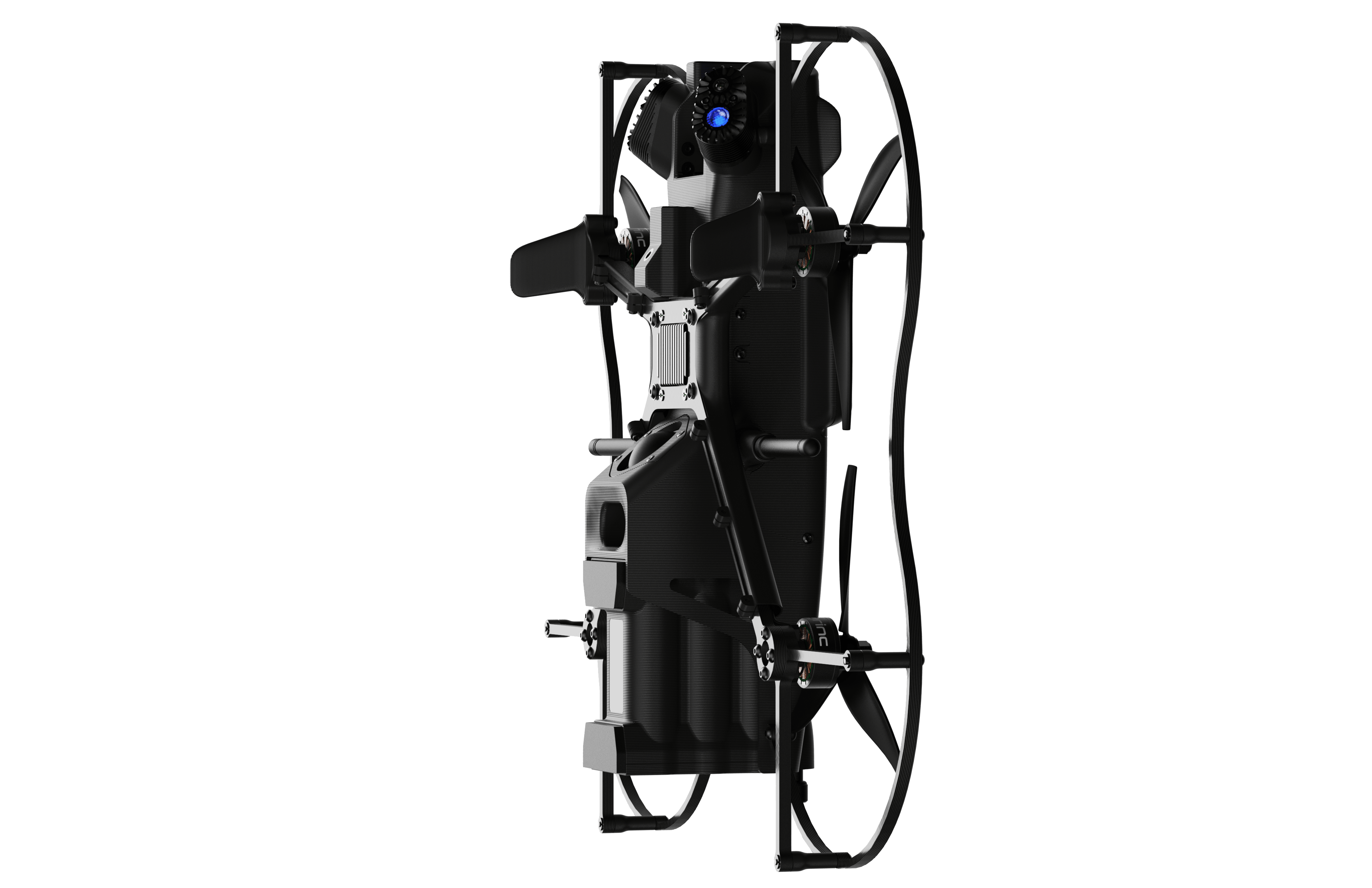
| Gimbal Stabilization | 1-axis |
| Gimbal Mechanical Range | 190° (+/- 95°) |
| Lighting On Gimbal | 1 x blue light, 1 x white light |
| Gimbal Light Modes | Persistent, Strobe |
| Sensor | Effective pixels: 13MP |
| Video resolution | 4K Native 1080p Recorded 1080p Streamed |
| Field of View | 146° |
| Scenarios | Day and night with onboard white light and blue LEDs |
| Sensor | FLIR Lepton, 160x120 |
| Frame Rates | 7Hz |
| Speaker Output | 96dB in Flight Mode 80dB in Perch Mode |
| Microphone | 1x front facing, 10 feet speech intelligibility distance while perched |
| Capacity | 97.2 Wh |
| Voltage | 10.8V Nominal / 12.6V Maximum |
| Nominal Discharge Current | 20 A |
| Charge Current | 8A |
| Charge Time | 80 minutes from 0 to 100% |
| Glass Breaker | Break open glass obstructions and windows. Tested to break: • Non-tinted & tempered auto glass • OEM solar tint & tempered auto glass • Single pane, non-tinted & annealed or tempered residential glass • Double pane, non-tinted & annealed or tempered residential glass |
| Payload Dropper | Carries up to 1lb, can drag heavier objects |
| Autonomy Capabilities | Real-time object awareness, floor-plan creation, dynamic speed adjustment |
| Autonomy Sensors | Forward LiDAR mapper, dual forward tracking cameras and downward LiDAR altimeter. |
| Forward Facing LiDAR | 117° FOV for 3D point clouds 570,000 Points per Second |
| Dual Forward Tracking Cameras | GPS denied position-hold 100° FOV each |
| Redundant IMUs | Reliable orientation estimation |
| Downward LiDAR Altimeter | Accurate altitude-hold up to 50m AGL Up to 388 readings per second |
| Map Display Formats | 2D – BRINC Controller or BRINC LiveOps 3D – BRINC LiveOps |
| Screen Resolution | 1920x1200 |
| Output Connection | HDMI |
| Charging Cable | USB-C, compliant with USB PD 3.0 |
| Battery Life | 6-8 hours at normal brightness 4 hours at 100% screen brightness |
| Charge Time | 150 minutes from 0 to 100% 105 minutes from 0 to 80% |
| Screen Max Brightness | 2500 nits |
| Weight | 3.23 lbs / 1.47 KG |